NYC Zoning Handbook: Appendix C
How to Read Zoning Maps
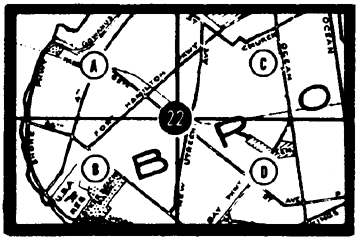
Find The Map
Locate the property in question on the Index Map of the Zoning
Resolution and note the section and quarter in which the property lies.
Next, turn to that quarter section map which shows the streets, blocks
and zoning district boundaries.
Determine Zoning District Boundaries
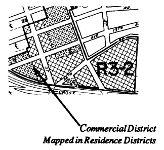
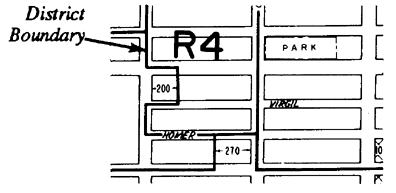
Heavy solid lines on zoning maps indicate boundaries of zoning districts.
A letter identifies general use categories -- R for Residence, C for
Commercial and M for Manufacturing
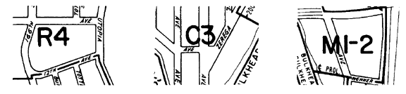
The first number after R generally indicates bulk and parking controls;
the first number after C or M refers to the particular range of
permitted uses. An additional number, in most cases, indicates bulk and
parking controls (C4-2, for example).
Various patterns on the map indicate the different local retail and
local service zones within residence districts.